Your Custom Text Here
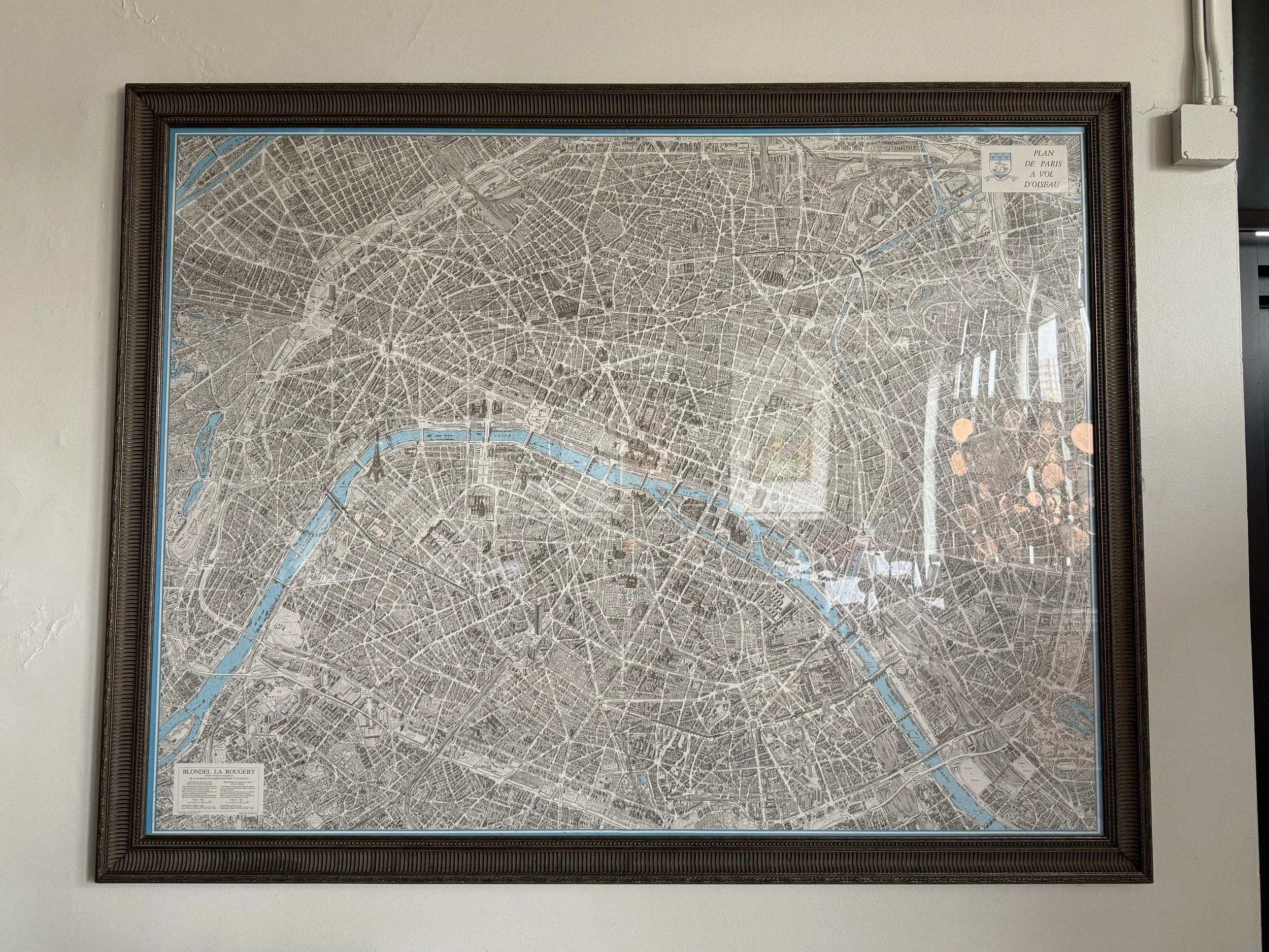
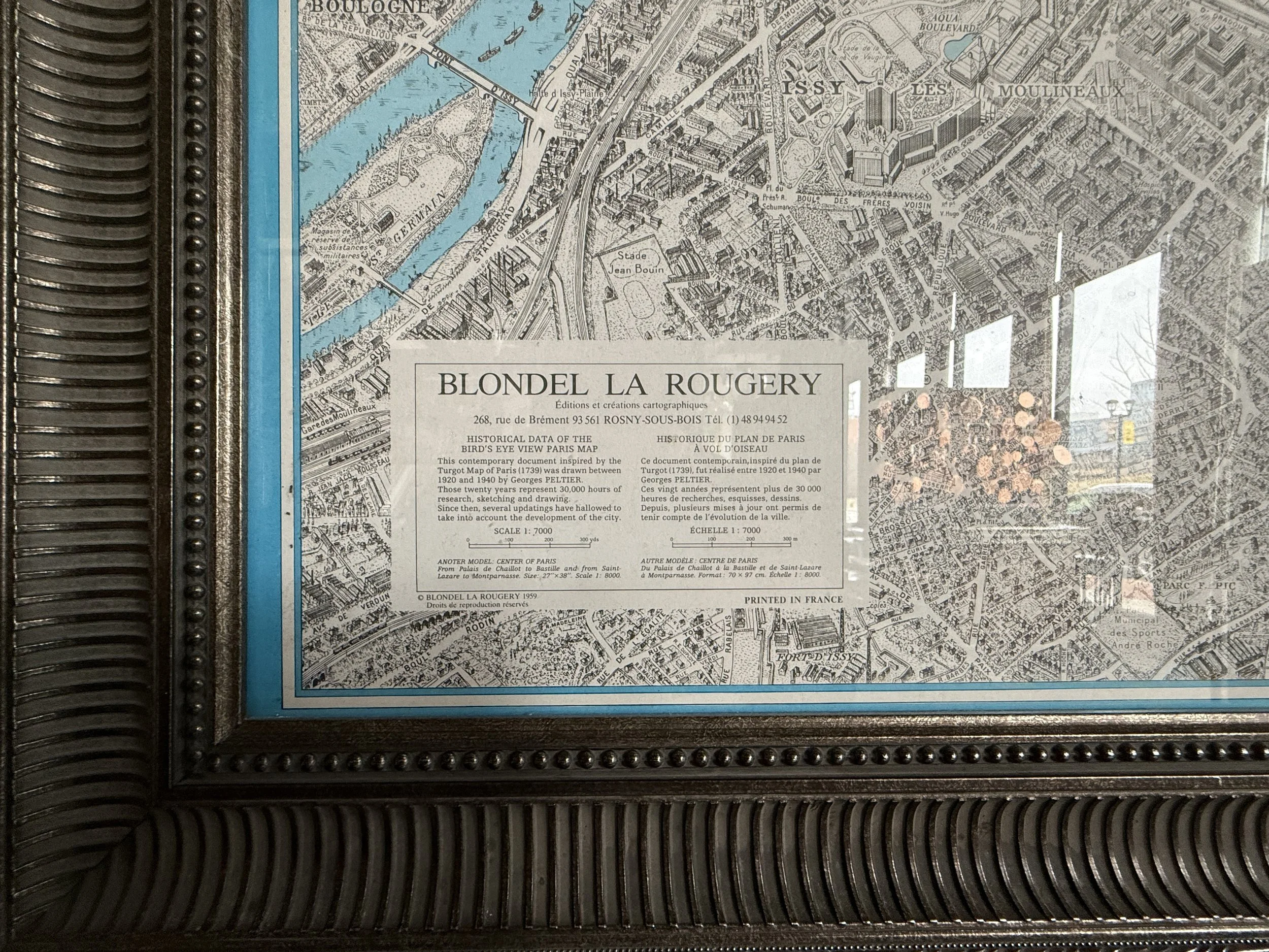
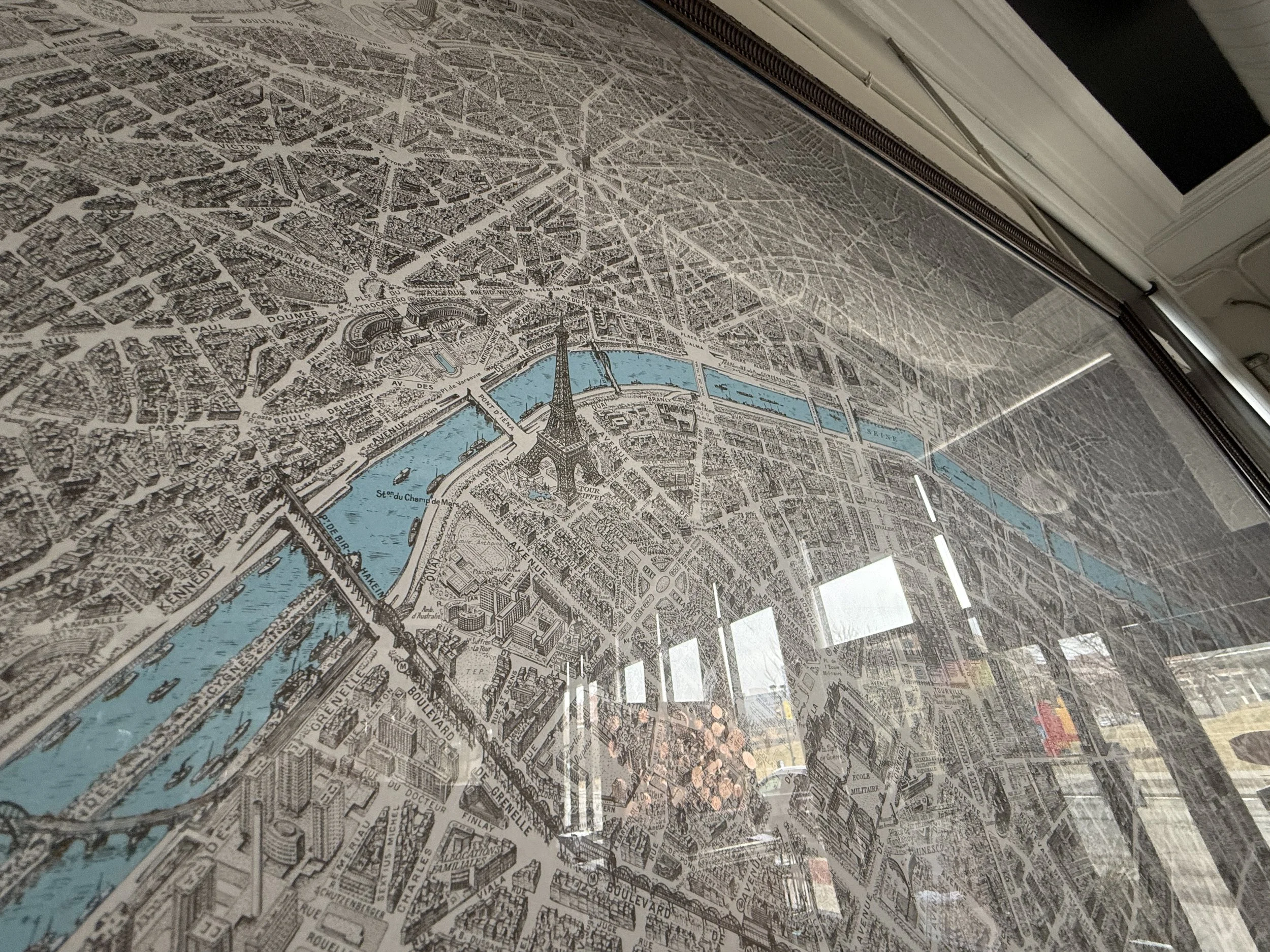
Framed “Historical Data of the Bird’s Eye View Paris” map (1959). Published by Blondel La Rougery.Approx. 74.5”w x 58”h.